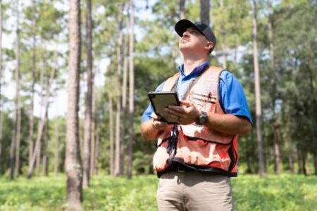


Join Us in the Fight Against Wildfires
Wildfires are becoming more frequent and intense, threatening lives, property, and natural resources in Texas. We need forward-looking problem solvers to help Texas A&M Forest Service (TAMFS) and the citizens of Texas stay ahead of the threat. As part of our integrated technology team, you’ll have the opportunity to develop innovative solutions, automate critical workflows, and deliver timely products to enhance wildfire preparedness and response. If you’re passionate about using technology to support wildfire and want to make a tangible impact, we want to hear from you.
Why This Role Matters
In this position, you’ll play a crucial role in advancing geospatial and data technologies that improve situational awareness, optimize emergency response, and drive smarter decision-making. From conducting complex geospatial analyses to streamlining data flows, your expertise will help firefighters and emergency managers protect communities and ecosystems across the state.
What You’ll Do
- Develop and enhance data-driven solutions that improve wildfire response and resource management.
- Conduct advanced geospatial analyses to address complex wildfire and natural resource challenges.
- Automate workflows to maximize efficiency and improve response times.
- Communicate insights effectively through reports, visualizations, and interactive platforms.
- Compile, process, and manage complex tabular, vector, and raster data sources in support of analyses and applications.
- Support division collaboration and program messaging through application of latest technology.
- Participate in agency’s geospatial working group, professional development, and collaborate with other agency programs in TAMFS
- Occasionally support emergency response operations as requested, which may include working extended hours and weekends.
- Bachelor’s degree in forestry, natural resources, spatial sciences, emergency management, or related field of study.